4 official previews, newest acquisition first, document source-area follow-up from 2026-09-28 to 2026-10-18. Metadata reviewed on 2026-10-19; acquisition, catalog publication and item-update timestamps are listed separately on each card.
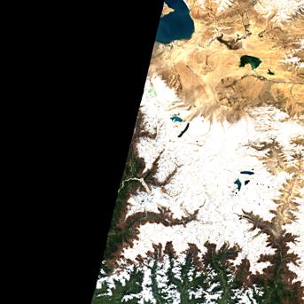
Sentinel-2C MSI L2A · 源区所在瓦片 · 10 月 18 日Tile containing the source area · 18 October
Copernicus Sentinel data 2026 / ESA / Copernicus Data Space Ecosystem · 官方预览原样展示 / Unaltered official preview · 343×343
观测 / Acquisition (UTC)
目录发布 / Item published (UTC)
目录版本 / Item updated (UTC)
云量与范围 / Cloud cover and scope
4.71% · 瓦片级统计,不能代表源区像素的清晰程度Tile-wide statistic; not a measure of source-pixel visibility
45RUM 瓦片的实际产品足迹包含影像目视源区点 28.2877°N, 85.52723°E;不能据此认定源区像素无云或适合量测。The actual product footprint of tile 45RUM contains the visually interpreted source point at 28.2877°N, 85.52723°E; this does not establish cloud-free or measurable source pixels.
原始 JPEG 快视图仅为 343×343,未裁切、未配准、未制作三维瓦片。4.71% 是瓦片云量;产品另有 42.225617% 无数据。快视图左侧黑色为无数据,不能解释为灾损或地形变化;标称 10 m GSD 不是此快视图的分辨率,不能用它测量源区、水体或位移。The original JPEG quicklook is only 343×343, without cropping, registration or new map tiles. 4.71% is tile-wide cloud cover; the product also reports 42.225617% nodata. The black area on the left is nodata, not damage or terrain change. The nominal 10 m GSD is not this preview’s resolution; it cannot measure the source, water bodies or displacement.
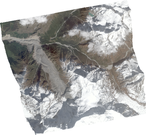
8% · 整景统计,不能代表源区像素的清晰程度Scene-wide statistic; not a measure of source-pixel visibility
地面采样 / GSD
0.66 m · 输出像元 / output pixel: 0.5 m
场景编号 / Scene ID
20261012_043642_88_300e
覆盖 / Coverage
足迹包含影像目视源区点 28.2877°N, 85.52723°E;不包含本站吉隆口岸地点,不能作为口岸复照。Footprint contains the visually interpreted source point at 28.2877°N, 85.52723°E; it excludes this site's Gyirong Port location and is not a port follow-up image.
官方整景缩略图原样展示,未裁切、未配准、未制作三维瓦片。整景 8% 云量不能证明源区像素无云;0.66 m GSD 与 0.5 m 输出像元均不是此缩略图的分辨率。不据此认定新的灾损、地形变化或水体面积。Official whole-scene thumbnail displayed unaltered, without cropping, registration or new map tiles. 8% scene-wide cloud does not establish cloud-free source pixels; neither the 0.66 m GSD nor the 0.5 m output pixel size is this thumbnail’s resolution. No new damage, terrain-change or water-area finding is drawn.
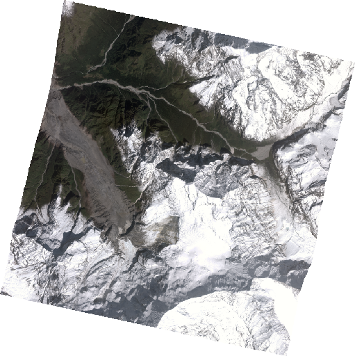
1% · 整景统计,不能代表源区像素的清晰程度Scene-wide statistic; not a measure of source-pixel visibility
地面采样 / GSD
0.57 m · 输出像元 / output pixel: 0.5 m
场景编号 / Scene ID
20260929_051336_88_300c
覆盖 / Coverage
足迹包含影像目视源区点 28.2877°N, 85.52723°E;不是整个口岸—下游走廊。Footprint contains the visually interpreted source point at 28.2877°N, 85.52723°E; not the whole border-to-downstream corridor.
官方整景缩略图,未裁切、未配准、未制作三维瓦片。整景云量不能证明源区像素无云;GSD 不是此缩略图的分辨率。未据此认定新的地形变化。Official whole-scene thumbnail, without cropping, registration or new map tiles. Scene-wide cloud cover does not establish cloud-free source pixels; GSD is not this thumbnail’s resolution. No new terrain-change conclusion is drawn.
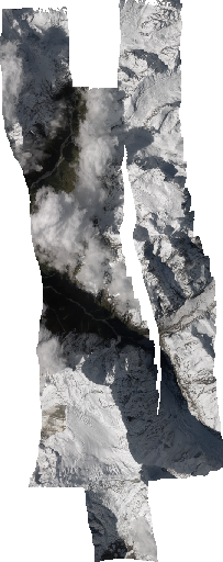
17% · 整景统计,不能代表源区像素的清晰程度Scene-wide statistic; not a measure of source-pixel visibility
地面采样 / GSD
0.66 m · 输出像元 / output pixel: 0.5 m
场景编号 / Scene ID
20260928_093420_ssc9_u0001
覆盖 / Coverage
足迹包含影像目视源区点 28.2877°N, 85.52723°E;南北狭长条带,不作为河谷全景。Footprint contains the visually interpreted source point at 28.2877°N, 85.52723°E; a narrow north–south strip, not a panorama of the valley.
官方整景缩略图,云与山体阴影明显,未裁切、未配准、未制作三维瓦片。整景 17% 云量不表示源区有 83% 可见;不据此测量灾损或水体面积。Official whole-scene thumbnail with visible cloud and mountain shadow; not cropped, registered or turned into map tiles. 17% scene-wide cloud does not mean 83% visibility at the source. Not used to measure damage or water-body area.
The 12 October Pelican scene on this page has a verified footprint containing this event’s visually interpreted source point. The catalog also includes 15 October imagery for the separate Budhi Gandaki/Chamar landslide; it is excluded from this event’s sequence. Entries are screened by event, footprint, date and licence. Catalog updates alone do not establish new impacts.
如何引用 / How to cite
引用各卡片的提供者、场景编号、观测时间及对应许可。Planet 预览采用 CC BY-NC 4.0;Sentinel-2 预览适用卡片链接的 Copernicus Sentinel Data Legal Notice。本站原样展示官方预览,仅按页面尺寸缩放;未裁切、未重投影、未添加灾损标注。
Cite the provider, scene ID, acquisition timestamp and linked licence on the relevant card. Planet previews use CC BY-NC 4.0; the Sentinel-2 preview is governed by the linked Copernicus Sentinel Data Legal Notice. Official previews are displayed unaltered, scaled only for layout, without cropping, reprojection or damage annotation.