吉隆—拉苏瓦洪灾:26 组灾前灾后卫星影像对照目录
沿 2026 年 8 月 26 日冰崩泥石流影响的河谷,从冰舌源区、吉隆口岸与热索桥,看到提姆里、夏布鲁贝西和下游。这里把交互地图胶片条中的 26 组对照、日期、来源与许可直接写成可阅读的 HTML;地图或脚本加载失败时,目录仍可使用。资料截至 。
这些是不同日期、传感器和覆盖范围的视觉对照,不是全部逐像素套合的灾损测量,也不等于现场核实。标为“未做像素级配准”的组别尤其不能凭滑杆边界读作准确位移。来源和获取方式见影像来源与方法;本站不是实时预警服务。
These 26 visual comparisons use imagery from different dates, sensors and footprints. They are not all pixel-registered damage measurements or field verification. See imagery sources and licensing. This is not a live warning service.
寻找后续复照?查看带日期与来源的后续观测;它们单独列出,不冒充已配准的灾前灾后组。Looking for later revisits? Browse dated follow-up observations, kept separate from before-and-after comparisons.
没有匹配的对照 No matching comparisons
试试一个地点、传感器或完整日期,如 2026-09-01。Try a place, sensor or full date, such as 2026-09-01.
冰舌源区 (5)Glacier source area
-
冰舌源区 · ISROGlacier snout · ISRO
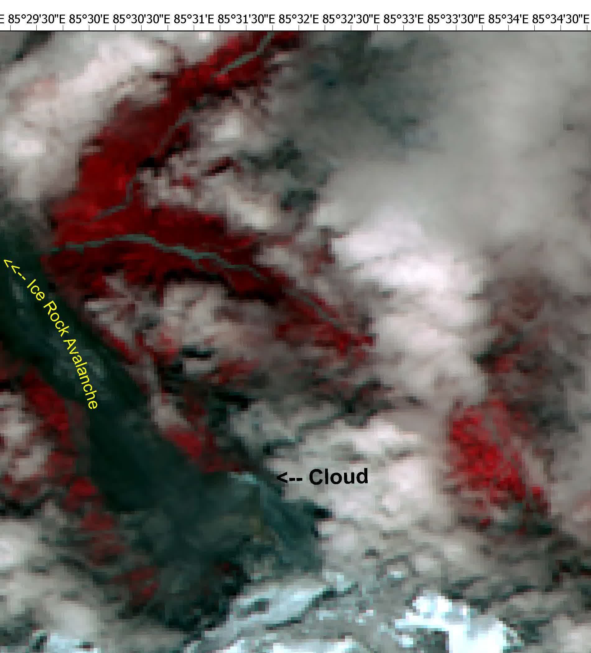
NRSC/ISRO Resourcesat-2A,国际减灾宪章 Call 1209,经 ESA 发布。假彩色,东切为冰舌。
NRSC/ISRO Resourcesat-2A, International Charter Call 1209, published via ESA. False colour; the glacier snout is in the eastern crop.
许可 / License:Charter / ISRO
-
源区 Landsat / SentinelSource · Landsat / Sentinel
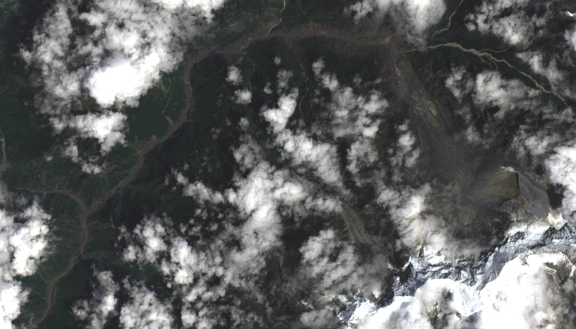
Contains modified Copernicus Sentinel data 2026;灾后为 USGS Landsat 9 公有领域。两图裁切可能不完全一致。
Contains modified Copernicus Sentinel data 2026; the after image is USGS Landsat 9 public-domain data. Crops may not fully align.
许可 / License:Copernicus / public domain
-
源区 8月12日 / 26日Source · 12 / 26 August
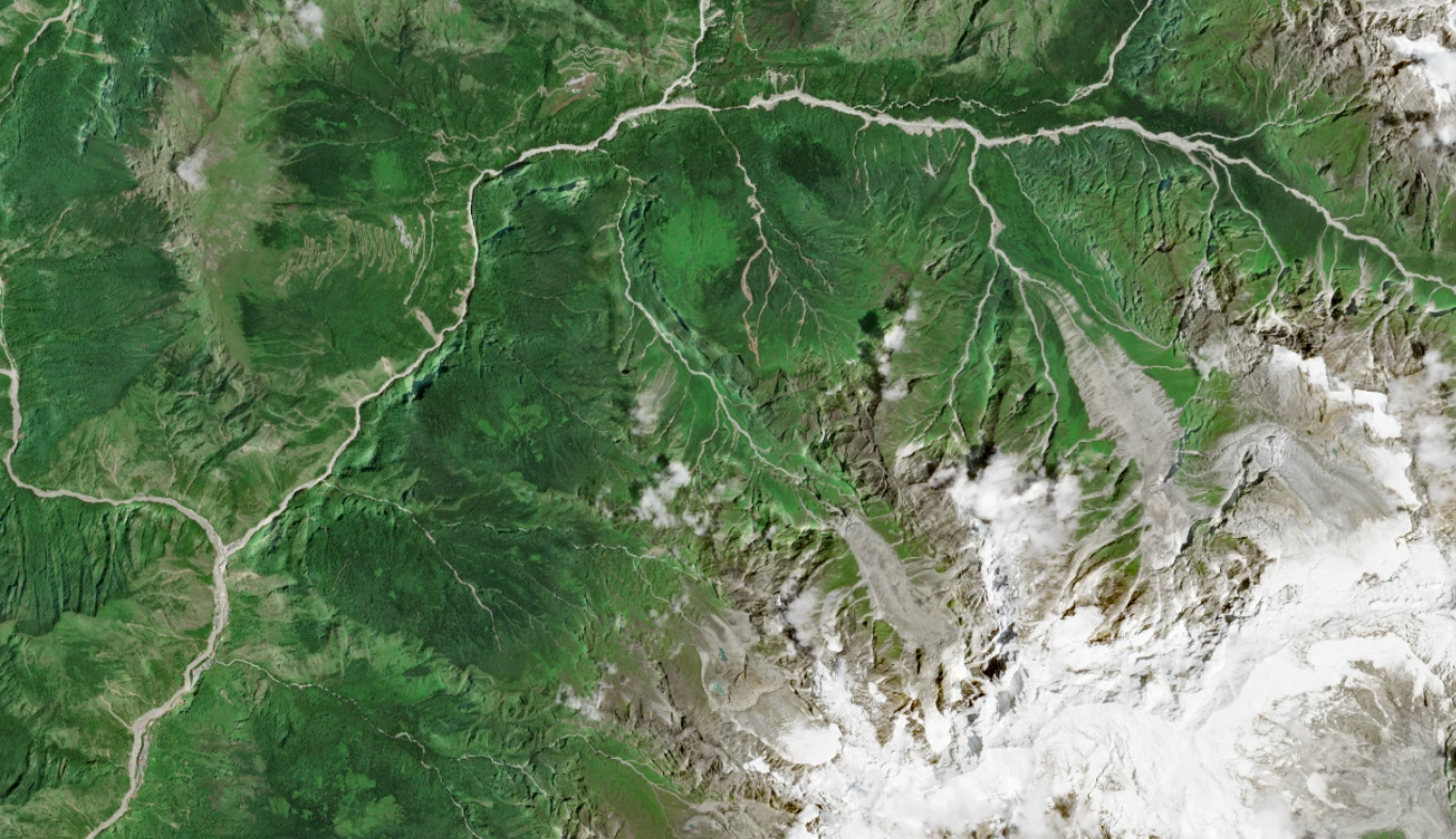
灾前图见 Wikimedia;灾后 USGS Landsat 9 公有领域,经 User:Chorchapu 处理。
The before image is on Wikimedia; the after image is public-domain USGS Landsat 9, processed by User:Chorchapu.
许可 / License:Wikimedia / public domain
-
源区 GeoEye-1 / Planet 当天Source · GeoEye-1 / event-day Planet
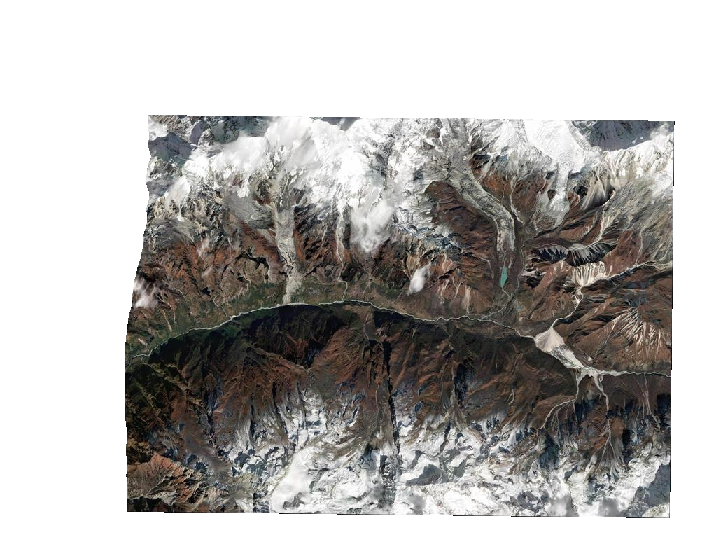
OAM 上唯一盖到 28.2877°N, 85.52723°E 的 VHR 灾前,对 Planet 崩塌当日东条。CC-BY-NC 4.0。画面未套合。飞到源区时三维图会叠这两层瓦片。
The only pre-event VHR scene on OAM covering 28.2877°N, 85.52723°E, compared with Planet's event-day eastern strip. CC-BY-NC 4.0. Images are not aligned. The 3D view drapes both tile layers when you fly to the source.
许可 / License:CC-BY-NC 4.0
未做像素级配准;仅作视觉对照。Not pixel-registered; visual comparison only.
-
对齐闪切(Commons GIF)Aligned blink · Commons GIF
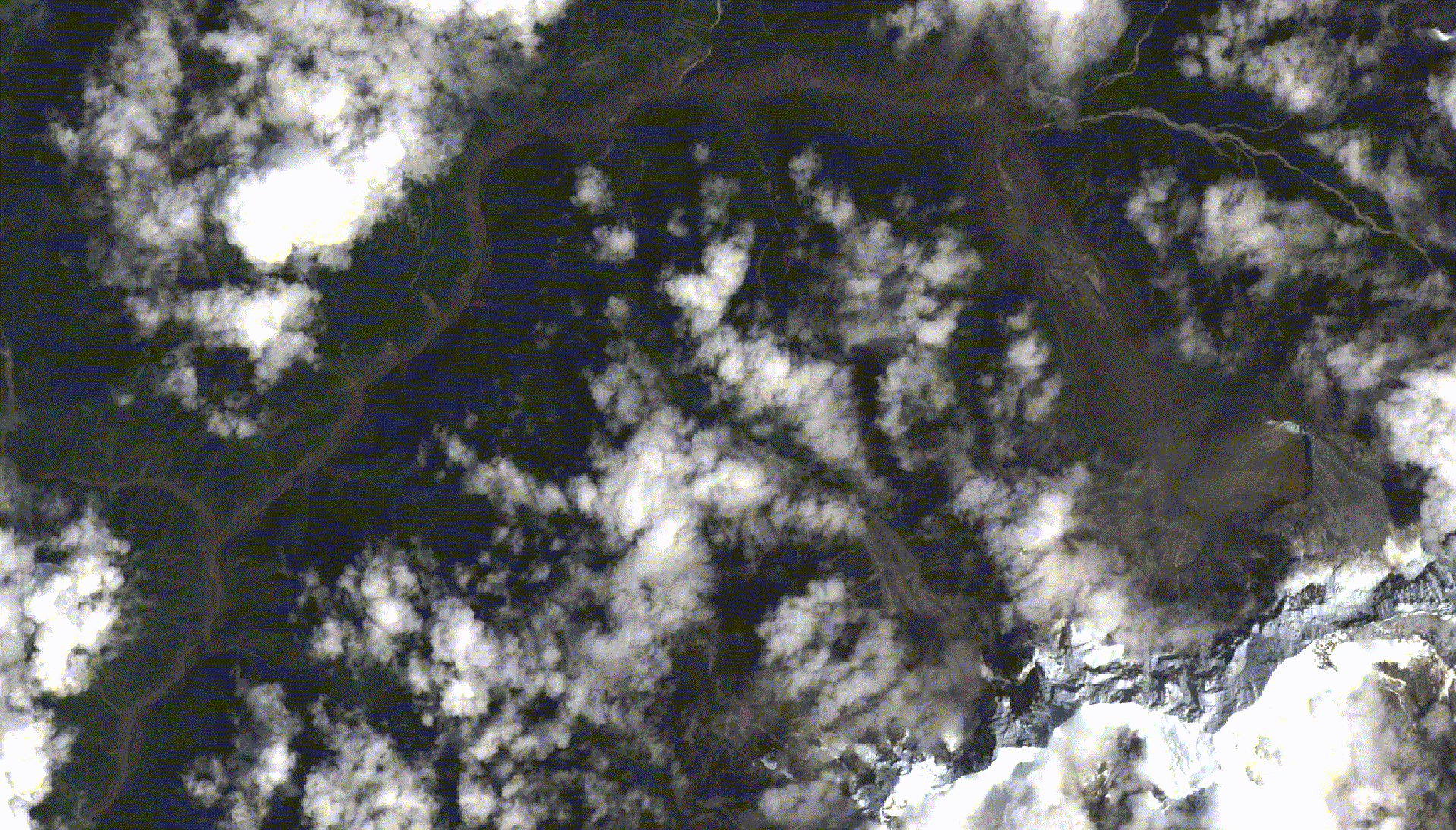
Wikimedia File:Nepal flood 2026 before after.gif,与 Landsat 9 灾后图。
Wikimedia File:Nepal flood 2026 before after.gif, paired with a Landsat 9 after image.
许可 / License:Copernicus / public domain
吉隆口岸—热索桥—提姆里 (9)Gyirong Port, Rasuwagadhi and Timure
-
伦德 / 波特科西扩槽Lhende / Bhote Koshi widened channel
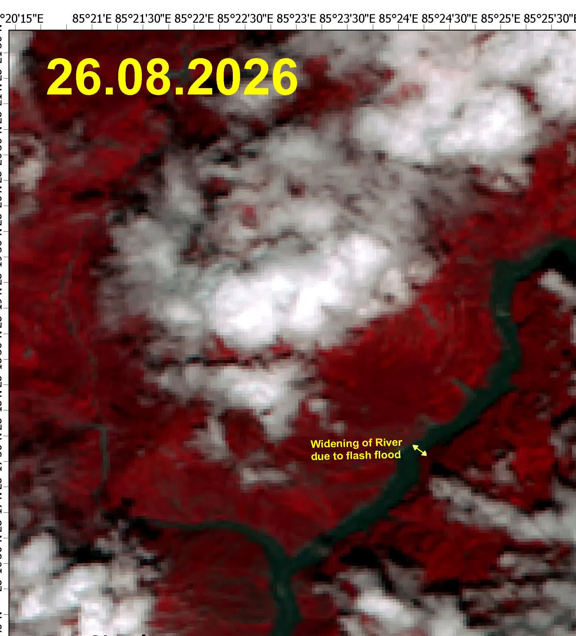
同一幅 ISRO 假彩色的西半幅,覆盖吉隆上游波特科西。标注仍在图上。
Western half of the same ISRO false-colour image, covering the upper Bhote Koshi above Gyirong. Original labels remain in the image.
许可 / License:Charter / ISRO
-
吉隆口岸高清Gyirong Port high-resolution
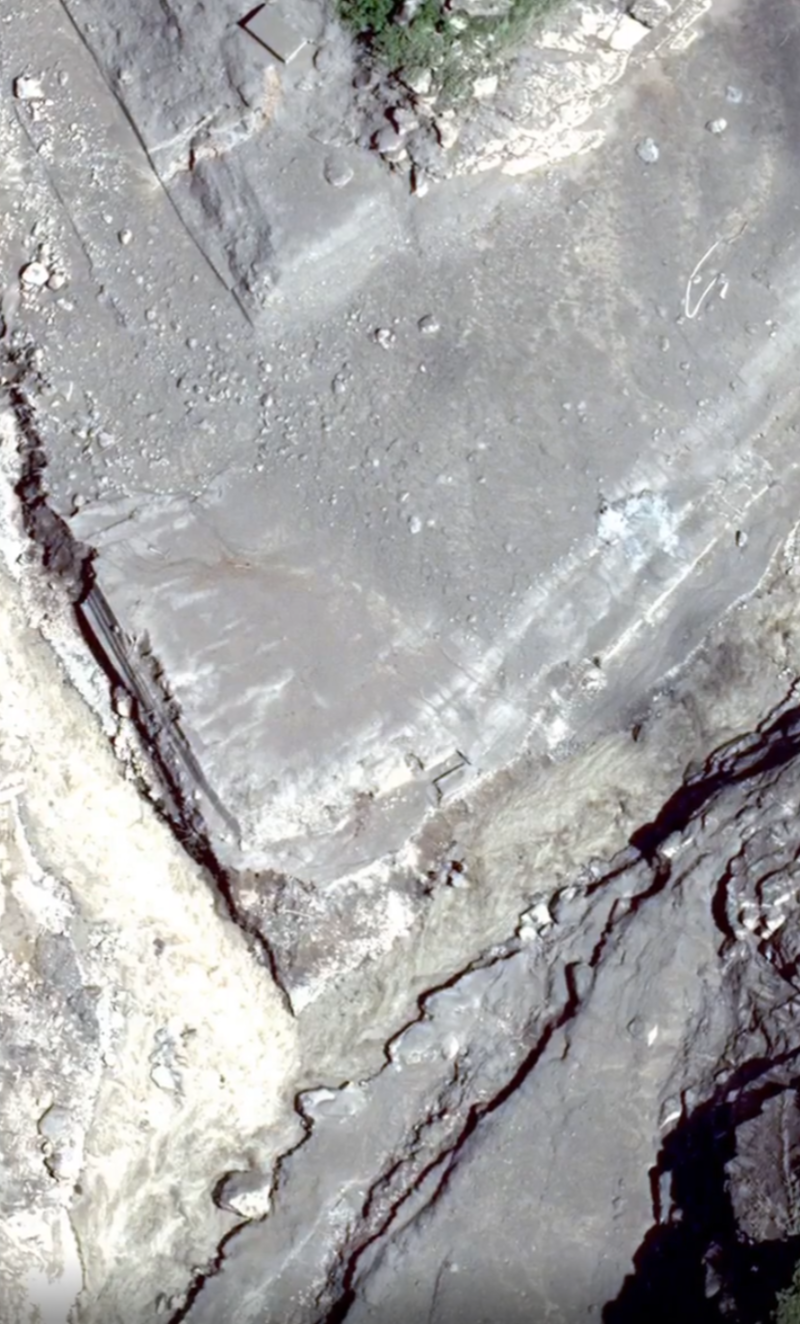
Wikimedia File:Gyirong Port before and after the flood satellite 2026.png,2026-08-28 上传,CC0。
Wikimedia File:Gyirong Port before and after the flood satellite 2026.png, uploaded 2026-08-28, CC0.
许可 / License:CC0
-
拉苏瓦全景假彩色Rasuwa false-colour overview
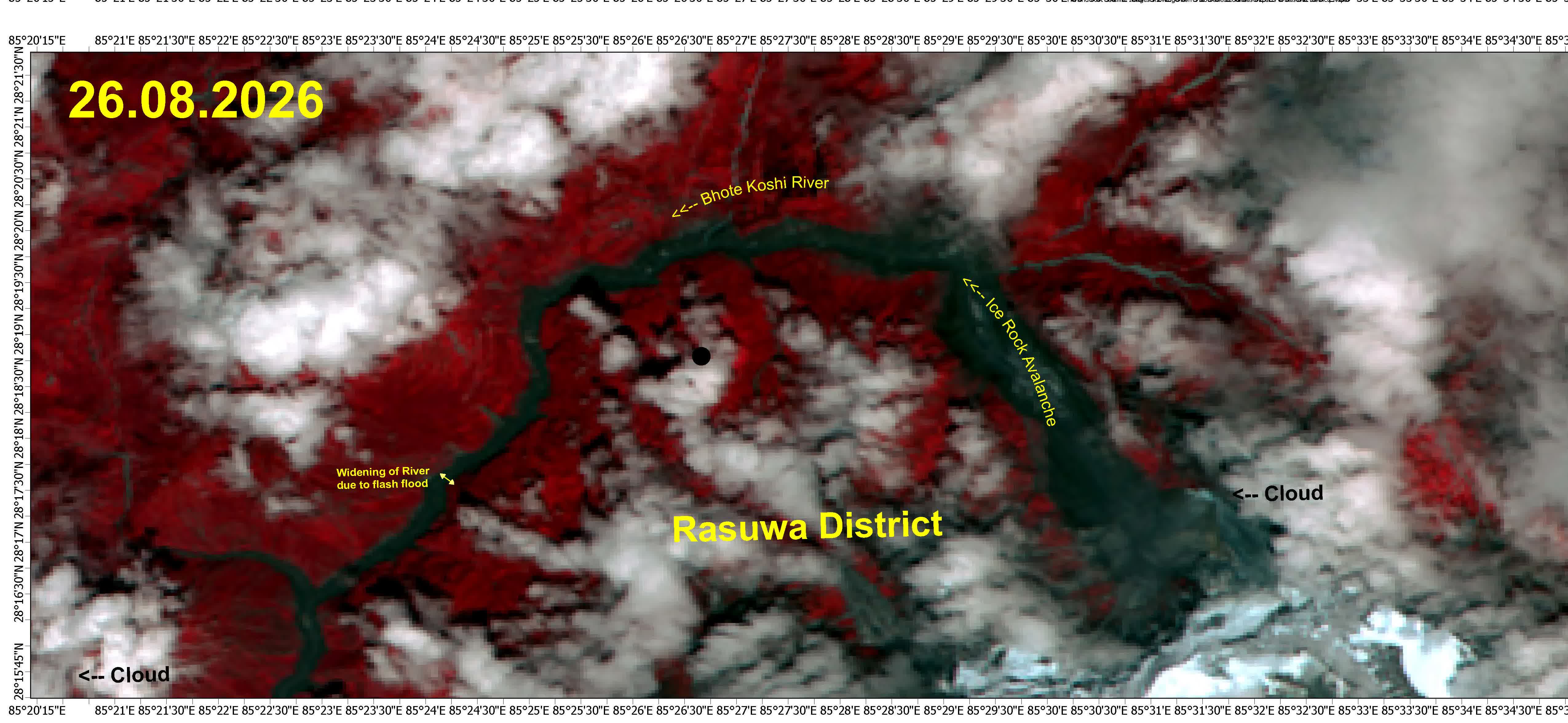
ESA/ISRO 整幅对照,含经纬度刻度。源区在东,波特科西在西。
Full ESA/ISRO comparison with coordinate graticule. The source area is east; Bhote Koshi is west.
许可 / License:Charter / ISRO
-
热索桥 SkySat 0.8 mRasuwagadhi SkySat 0.8 m
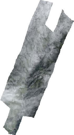
Planet Crisis Response STAC,CC-BY-NC 4.0。两景足迹不同,不能当像素级套合,只看口岸附近。
Planet Crisis Response STAC, CC-BY-NC 4.0. The footprints differ; this is not a pixel-registered comparison. Inspect only the crossing vicinity.
许可 / License:CC-BY-NC 4.0
未做像素级配准;仅作视觉对照。Not pixel-registered; visual comparison only.
-
热索桥 Pelican 0.55 mRasuwagadhi Pelican 0.55 m
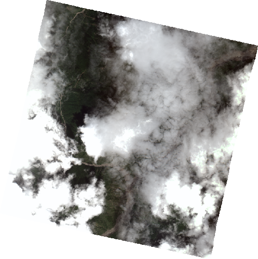
Planet Pelican ~0.55 m,CC-BY-NC 4.0。官方云量不可靠,河道仍清晰。
Planet Pelican, about 0.55 m, CC-BY-NC 4.0. The reported cloud fraction is unreliable, but the river is visible.
许可 / License:CC-BY-NC 4.0
未做像素级配准;仅作视觉对照。Not pixel-registered; visual comparison only.
-
吉隆 PlanetScope 当天Gyirong event-day PlanetScope
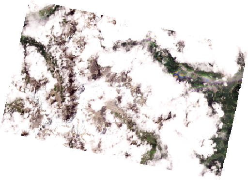
PlanetScope ~3.8 m,CC-BY-NC 4.0。26 日上午过境,云量高。
PlanetScope, about 3.8 m, CC-BY-NC 4.0. It passed on the morning of 26 August under heavy cloud.
许可 / License:CC-BY-NC 4.0
未做像素级配准;仅作视觉对照。Not pixel-registered; visual comparison only.
-
提姆里 PelicanTimure Pelican
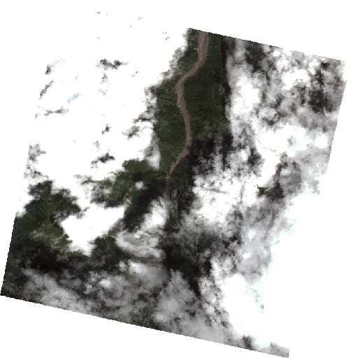
Pelican 中间帧覆盖提姆里至夏布鲁贝西。CC-BY-NC 4.0。
The middle Pelican frame covers Timure through Syabrubesi. CC-BY-NC 4.0.
许可 / License:CC-BY-NC 4.0
未做像素级配准;仅作视觉对照。Not pixel-registered; visual comparison only.
-
上段 Vantor 2021 / 2026Upper valley · Vantor 2021 / 2026
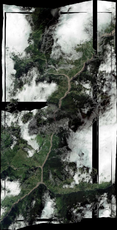
条带缩略图。请改用三维图上的 OAM 瓦片看同传感器套合。CC-BY-NC 4.0。
Strip thumbnail. Use the OAM tiles on the 3D map for a comparison using the same sensor. CC-BY-NC 4.0.
许可 / License:CC-BY-NC 4.0
未做像素级配准;仅作视觉对照。Not pixel-registered; visual comparison only.
-
热索桥 Pelican 9 月 1 日Rasuwagadhi Pelican · 1 September
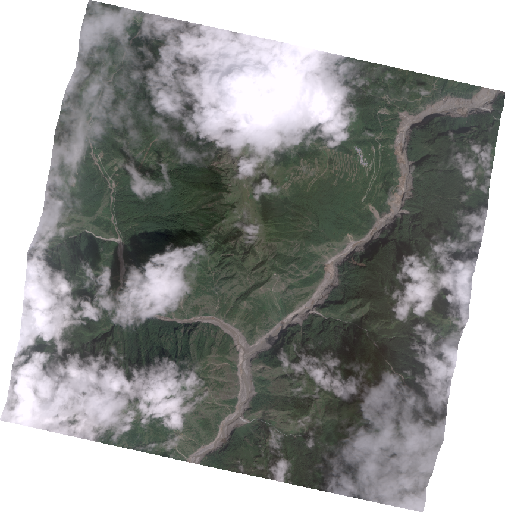
Planet Pelican 20260901_050632_98_300b 官方缩略图,CC-BY-NC 4.0。云约 47%,GSD 约 0.57 m,盖吉隆、热索、提姆里北侧,东缘约 85.436°E,不到冰舌。没有和 5 月 PlanetScope 做像素套合(not pixel-registered to the May PlanetScope)。
Official Planet Pelican thumbnail 20260901_050632_98_300b, CC-BY-NC 4.0. About 47% cloud and 0.57 m GSD; covers Gyirong, Rasuwagadhi and north Timure. Eastern edge near 85.436°E does not reach the glacier snout. Not pixel-registered to May PlanetScope.
许可 / License:CC-BY-NC 4.0
未做像素级配准;仅作视觉对照。Not pixel-registered; visual comparison only.
夏布鲁贝西—哈库贝西 (6)Syabrubesi and Haku Besi
-
夏布鲁贝西 SkySatSyabrubesi SkySat
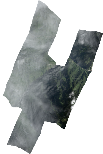
SkySat u0002 覆盖夏布鲁贝西与上特里苏里,CC-BY-NC 4.0。
SkySat u0002 covers Syabrubesi and upper Trishuli. CC-BY-NC 4.0.
许可 / License:CC-BY-NC 4.0
未做像素级配准;仅作视觉对照。Not pixel-registered; visual comparison only.
-
夏布鲁贝西泥浆河道Syabrubesi muddy river
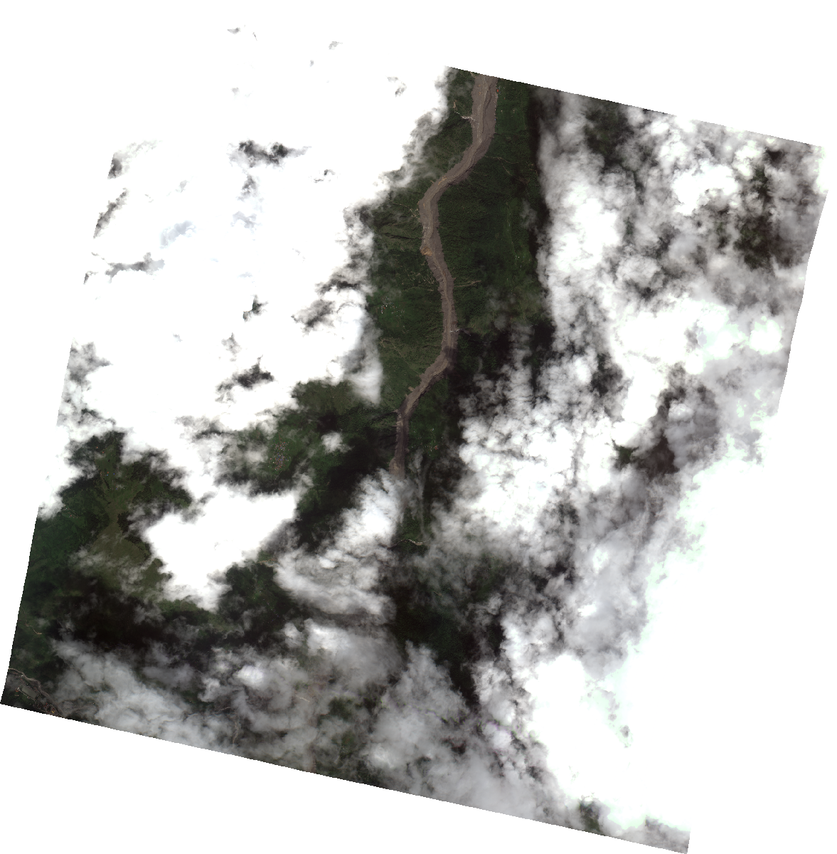
Pelican 南帧:泥浆河道从夏布鲁贝西向北可追。CC-BY-NC 4.0。
The southern Pelican frame lets you trace the muddy channel northward from Syabrubesi. CC-BY-NC 4.0.
许可 / License:CC-BY-NC 4.0
未做像素级配准;仅作视觉对照。Not pixel-registered; visual comparison only.
-
夏布鲁贝西 PlanetScopeSyabrubesi PlanetScope
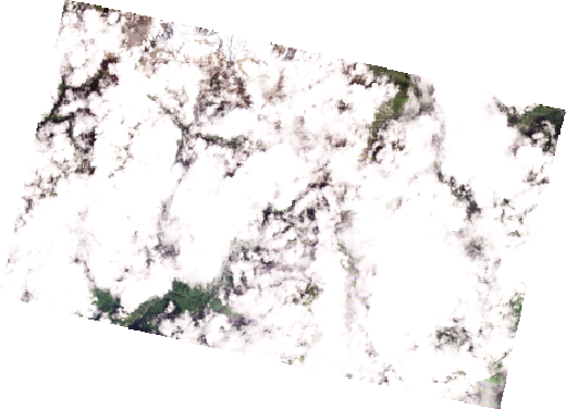
PlanetScope 同走廊条带,CC-BY-NC 4.0。
PlanetScope along the same corridor strip, CC-BY-NC 4.0.
许可 / License:CC-BY-NC 4.0
未做像素级配准;仅作视觉对照。Not pixel-registered; visual comparison only.
-
哈库贝西 / 麦隆Haku Besi / Mailung
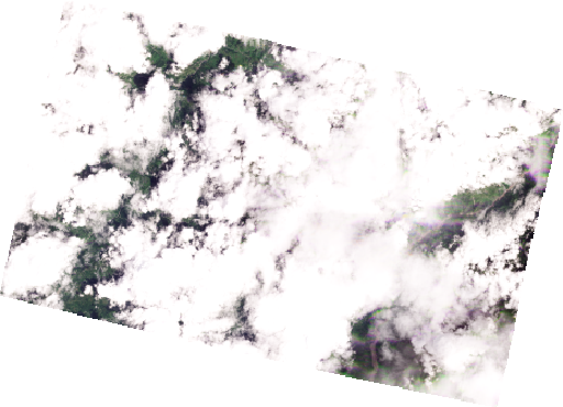
PlanetScope 覆盖 Hakubesi 至 Mailung。NDRRMA 新闻对照里的第三处。CC-BY-NC 4.0。
PlanetScope covers Haku Besi to Mailung; this is the third of NDRRMA's news comparisons. CC-BY-NC 4.0.
许可 / License:CC-BY-NC 4.0
未做像素级配准;仅作视觉对照。Not pixel-registered; visual comparison only.
-
走廊全景 5月 / 8月28日Corridor overview · May / 28 August
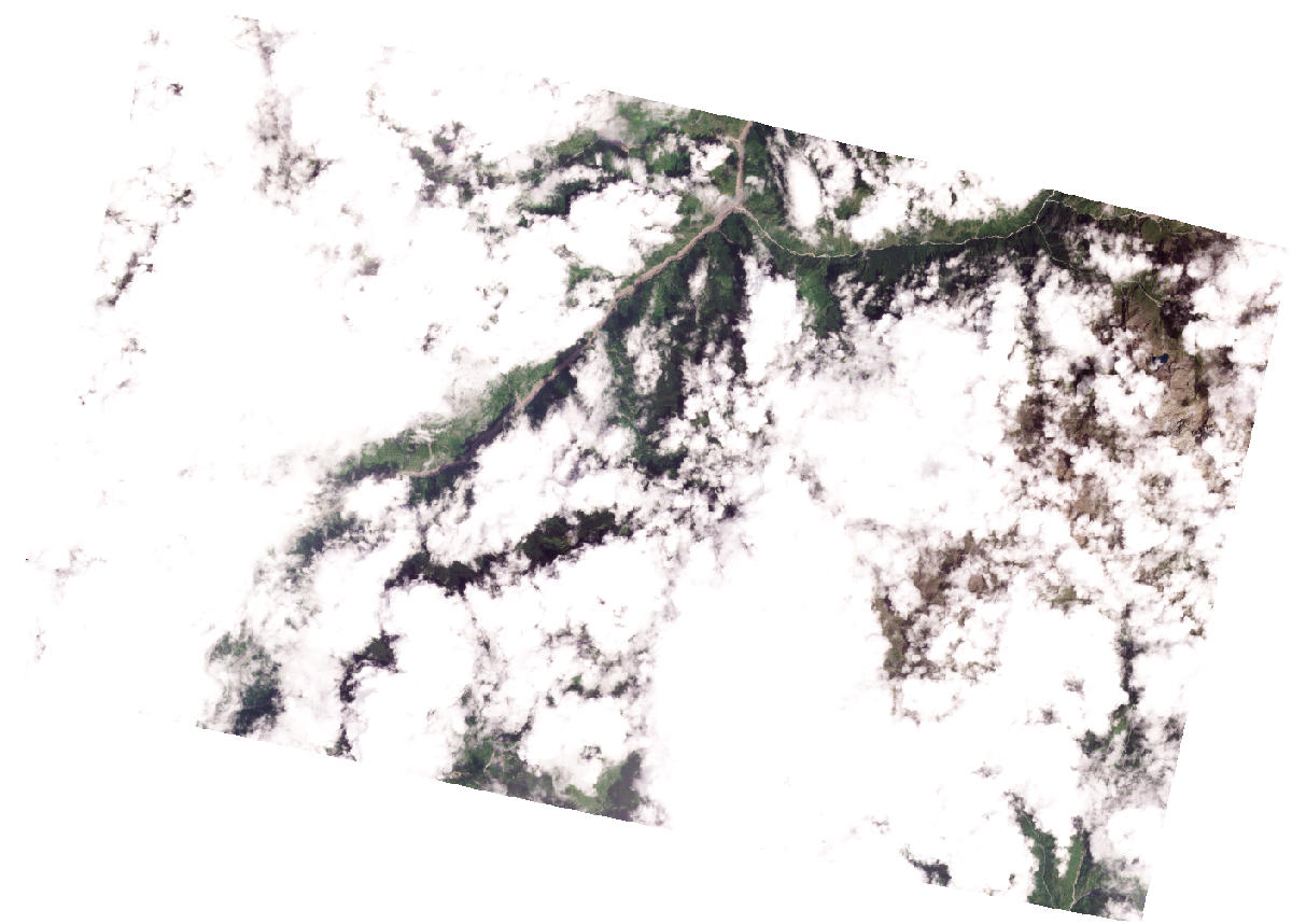
集合级镶嵌,足迹不完全重合。从口岸到贝特拉瓦蒂的褐河在 28 日条带上更完整。CC-BY-NC 4.0。
Collection-level mosaic with footprints that do not fully overlap. The brown river from the crossing to Betrawati is more complete in the 28 August strip. CC-BY-NC 4.0.
许可 / License:CC-BY-NC 4.0
未做像素级配准;仅作视觉对照。Not pixel-registered; visual comparison only.
-
走廊全景 Pelican 泥河Corridor Pelican · muddy river
这是目前目录里最能一眼看清扫过路径的后日影像。CC-BY-NC 4.0。
The clearest post-event image currently catalogued here for seeing the overall swept path at a glance. CC-BY-NC 4.0.
许可 / License:CC-BY-NC 4.0
未做像素级配准;仅作视觉对照。Not pixel-registered; visual comparison only.
贝特拉瓦蒂—德维加特—加尔奇 (6)Betrawati, Devighat and Galchhi
-
贝特拉瓦蒂 PlanetScopeBetrawati PlanetScope
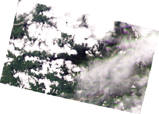
PlanetScope。NDRRMA 公布的四处对照之一。CC-BY-NC 4.0。
PlanetScope, one of four comparisons published by NDRRMA. CC-BY-NC 4.0.
许可 / License:CC-BY-NC 4.0
未做像素级配准;仅作视觉对照。Not pixel-registered; visual comparison only.
-
贝特拉瓦蒂 VantorBetrawati Vantor
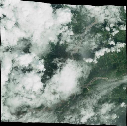
Vantor Open Data 条带预览,不是局部裁切。2026-08-28 该景云很多。CC-BY-NC 4.0。三维图上的瓦片更清楚。
Vantor Open Data strip preview, not a local crop. The 28 August scene has much cloud. CC-BY-NC 4.0. The tiles on the 3D map are clearer.
许可 / License:CC-BY-NC 4.0
未做像素级配准;仅作视觉对照。Not pixel-registered; visual comparison only.
-
德维加特 PlanetScopeDevighat PlanetScope
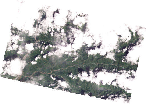
PlanetScope 28 日条带下到德维加特。CC-BY-NC 4.0。
The 28 August PlanetScope strip reaches Devighat. CC-BY-NC 4.0.
许可 / License:CC-BY-NC 4.0
未做像素级配准;仅作视觉对照。Not pixel-registered; visual comparison only.
-
贝特拉瓦蒂 SkySat 0.64 mBetrawati SkySat 0.64 m
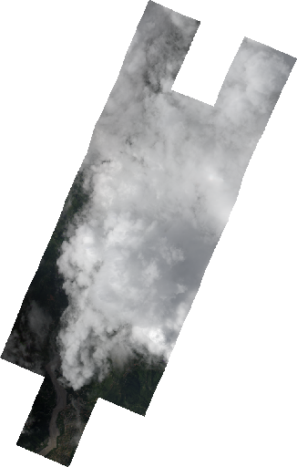
Planet Crisis Response STAC 20260831_092523_ssc9_u0002,CC-BY-NC 4.0。下游首次亚米级。报云 76%。足迹与 5 月 PlanetScope 不同,不能当像素级套合。
Planet Crisis Response STAC 20260831_092523_ssc9_u0002, CC-BY-NC 4.0. The first sub-metre downstream scene in this catalogue; reported cloud 76%. Its footprint differs from May PlanetScope, so it is not pixel-registered.
许可 / License:CC-BY-NC 4.0
未做像素级配准;仅作视觉对照。Not pixel-registered; visual comparison only.
-
德维加特 SkySat 0.65 mDevighat SkySat 0.65 m
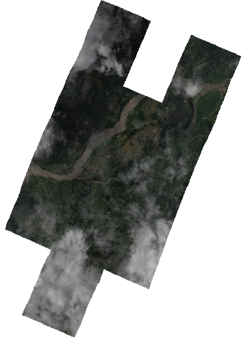
Planet Crisis Response STAC 20260831_092523_ssc9_u0003,CC-BY-NC 4.0。德维加特至比杜尔。报云 76%。不能当像素级套合。
Planet Crisis Response STAC 20260831_092523_ssc9_u0003, CC-BY-NC 4.0. Covers Devighat to Bidur; reported cloud 76%. Not pixel-registered.
许可 / License:CC-BY-NC 4.0
未做像素级配准;仅作视觉对照。Not pixel-registered; visual comparison only.
-
加尔奇 / 下特里苏里Galchhi / lower Trishuli
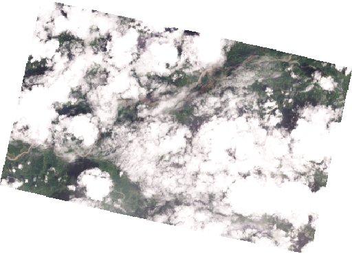
PlanetScope 2520 偏西南,经过加尔奇一带。CC-BY-NC 4.0。
Southwestern PlanetScope 2520 scene passing the Galchhi area. CC-BY-NC 4.0.
许可 / License:CC-BY-NC 4.0
未做像素级配准;仅作视觉对照。Not pixel-registered; visual comparison only.