Valley route (OSM waterways; not a flood-extent polygon)
Current place
Glacier collapse source
Dated event-wide facts below are not losses at the selected place.
08:37 NPTUSGS us7000tbwb: reviewed landslide signal, not a tectonic earthquake
3 October reportNDRRMA total field: 1,455, including partial remains; categories sum to 1,454, an unexplained difference of one. Missing: 5,285, including 636 foreigners, after deducting 112 identified bodies. Not a final or verified distinct-person count. Source and definitions
1 × 2 × 1.2 kmHidenori Watanave’s collapse envelope near the glacier snout, not an ice-volume estimate
~20 km²UNOSAT mudflow extent within its Rasuwa analysis area; not field-verified
Remains pieces and unresolved register discrepancies are not a count of distinct people. Missing does not mean dead. Nepal and Tibet figures are not added together. View source-area follow-up imagery.
Satellite image comparisons
No verified image comparison is available for this exact place. You can still explore the map, place evidence and other river sections.
BeforeAfter
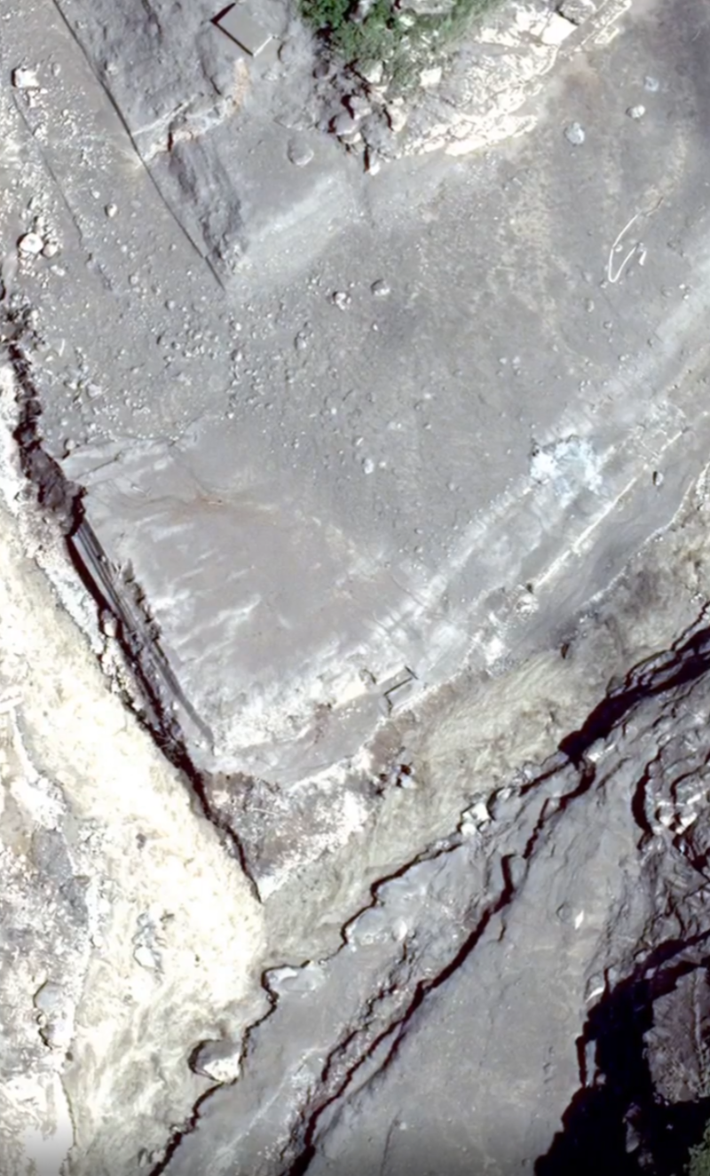
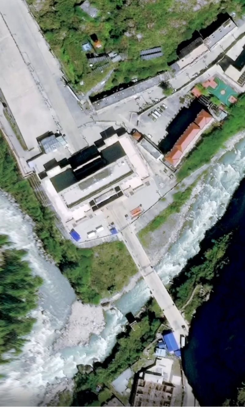
Gyirong–Rasuwagadhi debris flood: satellite before and after
USGS us7000tbwb records a reviewed M5.2 landslide signal on 26 August 2026, not a tectonic earthquake. Debris followed Lhende Khola past Gyirong Port and Rasuwagadhi into the Bhote Koshi–Trishuli valley. Search 26 dated image comparisons, view four separate September–October source-area observations, or read the ICIMOD October preliminary synthesis guide. NDRRMA’s report through 3 October lists 1,455 in its total field, including partial remains; categories sum to 1,454, leaving a difference of one. It lists 5,285 missing. These are not final or verified distinct-person counts. Official language versions, the discrepancy and older snapshots remain available. Tibet’s separate 5 September 18:00 CST snapshot is 43 dead and 519 missing; the two sides are not added together. This is an independent reconstruction, not a live warning or an official Watanave Lab site.